

On our eastbound trek, we depart Cle Elum and quickly enter the countryside of rural Kittitas County. Soon we will again meet up with the Yakima River where we will travel the south side of the river. The competing Burlington Northern/Northern Pacific Stampede Pass route is across the river to the north. The NP located through the canyon first, and they chose the easier route to construct. The Milwaukee Road had to bore two tunnels through the canyon. Our trip ends at Thorp, where the valley widens out and agriculture is very much a part of the landscape.

As we leave Cle Elum, we take a backwards glance to the substation, depot, rail yard and a fading view of the Cascade Mountains in this John W. Barriger photo taken in September 1936. Photo from the John W. Barriger III National Railroad Library.
Horlick

A westbound freight, powered by boxcab motor 10500 at the siding at Horlick in the Yakima River Valley in 1936. John W. Barriger photo from the John W. Barriger III National Railroad Library.
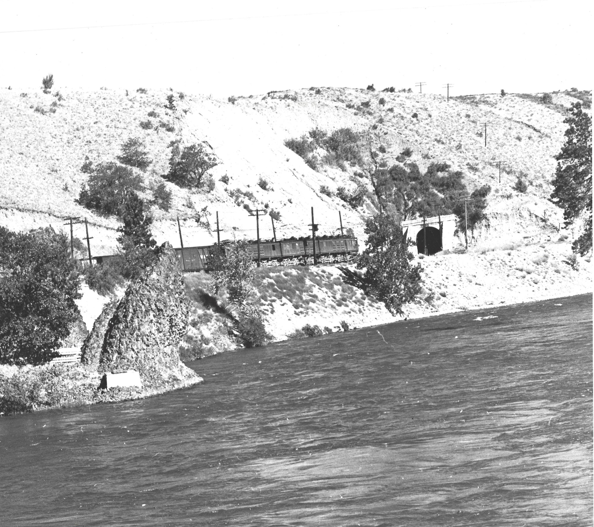
As seen across the Yakima River, a westbound freight train is about to enter tunnel #46, some 496 feet long, on July 28, 1945. Shortly after is Tunnel #47, measuring 1,239 feet long. Unknown photographer, M Borleske collection.
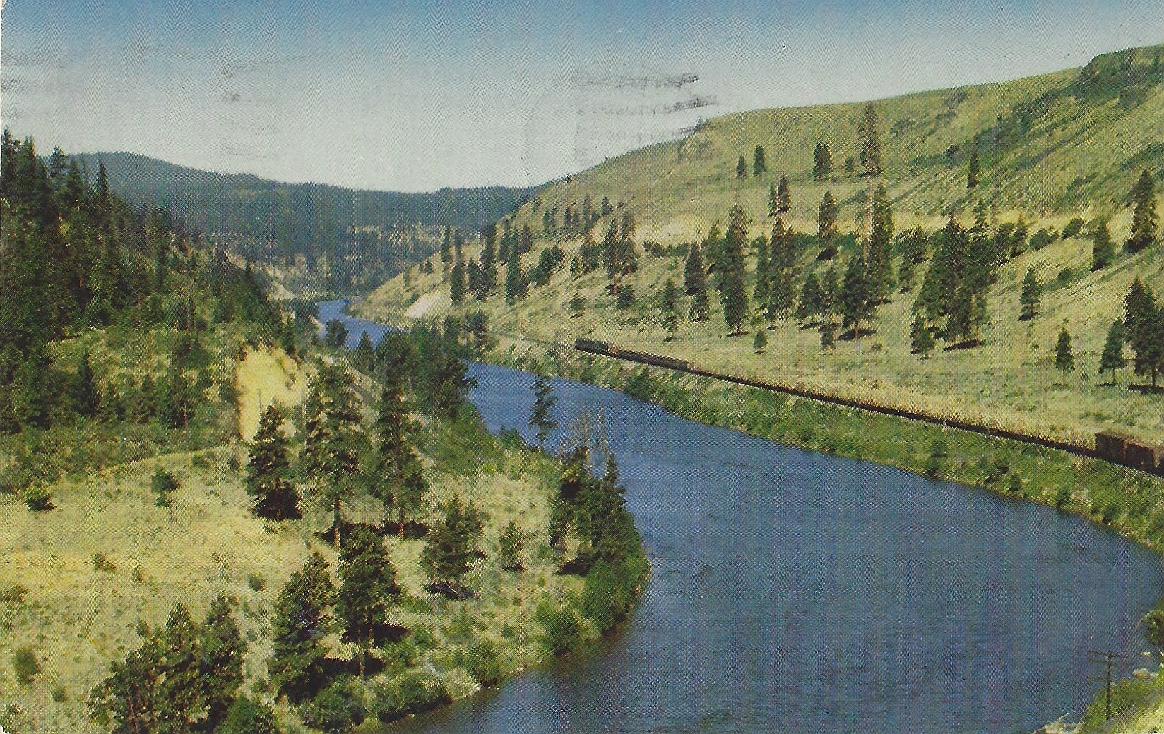
This 1950s postcard view, from US Highway 10, the Sunset Highway, captures a scene looking upriver in the Yakima River Valley looking west. Just below the highway is the right of way of the Northern Pacific with a westbound freight. Across the river, on the south side is the Milwaukee Road right of way (tracks not visible).
